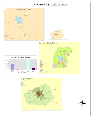
ArcGIS is a complex and sophisticated software that appears to have unlimited poetical. In my first encounter with the program, I was overwhelmed at the amount of information that was available. There seemed to be endless tabs and commands which can be a little intimating. However, this complexity is a reflection of the control that exists in ArcGIS. This powerful software allows the user to use what seems like limitless controls to express their ideas. Thus ArcGIS really provides the tools for map makers to express their information in a unique and creative manner.
Another powerful tool that really reflects the poetical of ArcGIS is the amount of data that can be accesses through the program. ArcGIS has a huge interface that allows for the exchange of large sets of data. This allows map makers to seamlessly interface large data pools with map making devices and thus creating productive and informative maps. However, these devices seem to be extremely complex so I did not get a full chance to see its benefits.
These two ideas seem to support the greatest asset of ArcGIS and that is its applicability. ArcGIS has so many different functions that the program really can benefit anyone. The ability to express information clear and coherently on a map can be used to supplement almost any industry. These benefits could be for capital gains, such as mapping out areas of high demand for a product, or environmental, using maps to identify areas of endangered species. These benefits are clear even to a new user of the program.
It is hard to discuss the pitfalls of ArcGIS because of limited interaction with the program. Most of my frustrations that arose with ArcGIS, probably stemmed from my lack of experience with the software. However, just because ArcGIS is a powerful information system doesn’t mean the material being produced is always factual. Thus the one pitfall I would see in using ArcGIS, is human bias and error. The users interacting with the software can use its powerful imagery to construct diligent maps of USELESS information! ArcGIS is still at the mercy of the user and can only be as productive and useful as the person who is commanding the software.
No comments:
Post a Comment